
Project: Canberra Light Rail Stage 2B - Stakeholder Mapping
Analysing 2,000+ stakeholders to support the latest stage of light rail’s development.
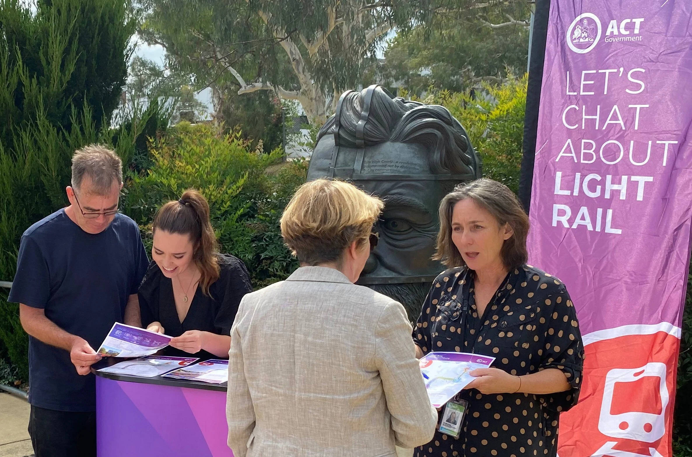
Client: ACT Government: Major Projects Canberra
Project Dates: July - November 2023
Services Delivered:
Stakeholder mapping, analysis, categorisation and assessment
Community profile development
Impact and risk assessment
Recommendations for priority engagement topics
Project Background:
Light rail is a key part of developing Canberra’s integrated public transport network across the city, supporting future growth and sustainability, and maintaining a world-class standard of living. The next stage of the project will see the existing light rail network connected to Woden, building on the success of Stage 1 (Gungahlin to City) and completing the network's north-south spine. Light rail to Woden is being built in two stages. The first stage to connect the City to Commonwealth Park (Stage 2A) has been approved and designs finalised. Concurrently, environmental planning and approvals are underway to continue the line all the way to Woden (Stage 2B). Once operational, light rail to Woden will provide people with more transport options, help reduce traffic congestion and support Canberra's transition to a zero emissions future.
The Challenge:
The continued development of the light rail project from Commonwealth Park to Woden is one of the most complex components of the network. Light rail vehicles will need to cross Lake Burley Griffin via a new bridge between the existing Commonwealth Avenue bridges, and travel through the National Triangle past Parliament House. The route is expected to deliver nine new stops and will require endorsement through both houses of Parliament. Environmental and heritage considerations along the proposed alignment, and particularly around the National Triangle, add to its sensitive nature. There are also cumulative impacts to consider in areas such as Woden leading to increased sensitivity at the southern end of the line. Overall the project involves a high number of impacted stakeholders and lessons from Stage 1 identified the need to improve engagement and support provided specifically to businesses. Against this complex backdrop there is a requirement to build social licence to support the continued expansion of the network as well as to continue operating light rail in the future.
Our Approach:
Social Atlas initially undertook analysis of businesses in the Light Rail Stage 2A project area in 2019, which culminated in a series of recommendations and guidance on how to better support those businesses, to minimise impacts and identify areas of project opportunity.
To ensure a similarly robust approach was undertaken for Light Rail Stage 2B, comprehensive stakeholder mapping and analysis was again conducted with desktop and in-person stakeholder mapping across five different precincts. The purpose of the exercise was to identify all relevant stakeholders and gain insights into levels of interest and influence to help evaluate potential positive and negative impacts for communities and businesses along the proposed light rail alignment, enhancing project decision-making and mitigating future risk.
Throughout August and September 2023, Social Atlas carried out detailed mapping to identify stakeholders likely to have an interest in, or be impacted by, the construction or operation of the project. Stakeholders were considered from a variety of different lenses and in particular mapping considered impacted stakeholders located along the proposed light rail alignment, including influential and sensitive stakeholders and receivers, as well as those with a general interest, those that may be impacted and those who may require interface agreements.
Following the precinct mapping, stakeholders were assigned into categories and classified by level of impact, level of influence and a proposed level of engagement. Within the Parliamentary Precinct, two corridor options are being considered and as such, level of impact, influence and engagement for this precinct were identified based on both route options.
Our stakeholder mapping approach considered location, project design, construction methodology and operational activities along with the local context to inform the likelihood and levels of impact on stakeholders. Detailed community profiles were also developed, with an analysis of demographic data undertaken, and profiles included consideration of behavioural patterns and transport considerations, with identification of cumulative project impacts in high-development areas.
Based on findings from the mapping, priority and/or sensitive topics of engagement were identified, and a series of recommendations were made to support development of the project’s engagement approach.
Project Outcomes:
More than 2,200 stakeholders were identified and mapped within 500m of the proposed light rail to Woden alignment and the information gathered is being used to inform consultation planning as well as project design and delivery. Early engagement recommendations and priorities were provided to be applied during the project’s planning phase with future targeted engagement strategies requiring development for each phase of project delivery and informed by ongoing engagement outcomes. This mapping exercise provides a robust foundation for effective future stakeholder engagement, ensuring that resources and messaging are prioritised and tailored effectively, to facilitate meaningful relationships and promote transparency, collaboration and trust.
